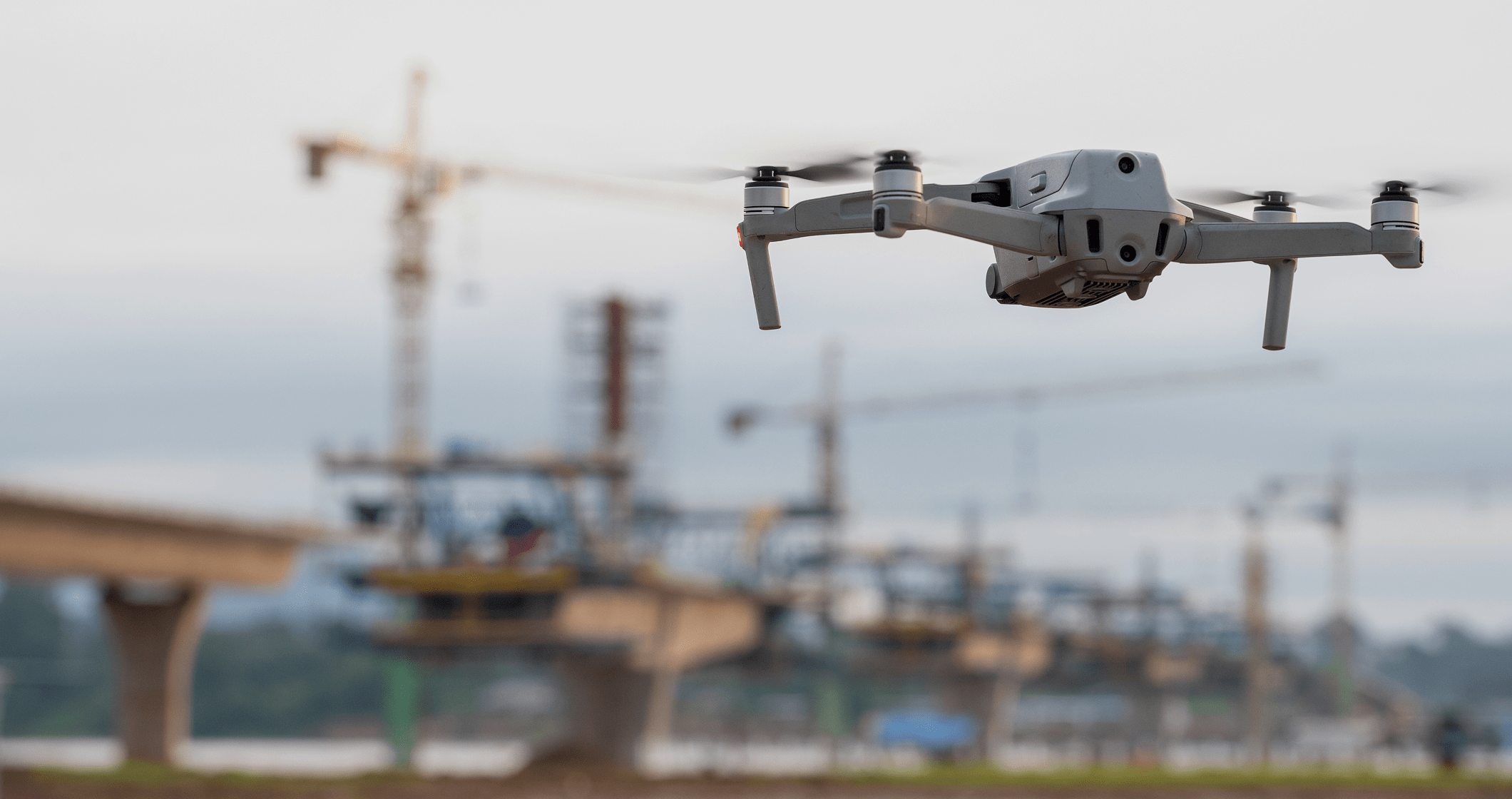
Wheelies - Autonomous UAV & Robotics Control Systems
Wheelies - a universal solution for autonomous control of UAV and robotic systems
Target audience
Manufacturers of robotic systems
UAVs
Humanoids
Mobile Platforms
Businesses Using Drones
Industry Applications
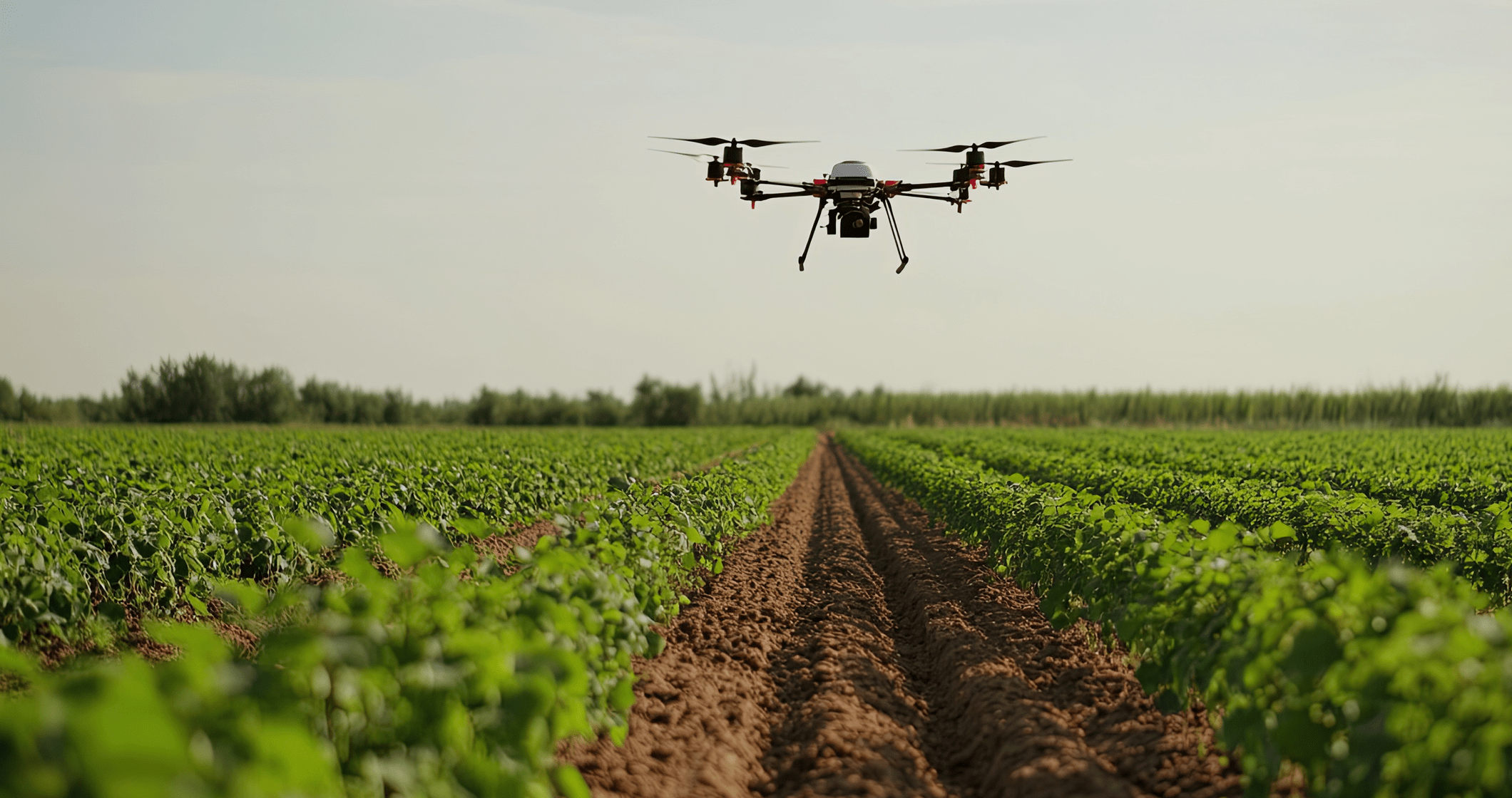
Wheelies helps farmers monitor field conditions, identify problem areas, and optimize crop and livestock management.
Applications:
- Automated field mapping
- Monitoring crop health and detecting disease outbreaks (infections)
- Assessing seedling quality and forecasting yields
- Livestock monitoring and health tracking
Case example:
Agricultural holdings use Wheelies for daily field scanning. Drones detect early signs of plant diseases and transmit data to an analytics center, where neural networks forecast crop yields. Early detection of issues enables up to 30% resource savings.
Wheelies provides 24/7 perimeter monitoring of facilities, rapid detection of intruders, and emergency response that is 5–6 times faster than traditional security.
Applications:
- Continuous territory monitoring
- Intruder detection
- Rapid incident response
- Visitor tracking and activity monitoring
Case example:
Security companies use drones for perimeter patrolling. When an intruder is detected, the system automatically tracks the target and transmits data to the security operations center. This helps reduce human error and significantly speeds up response times.
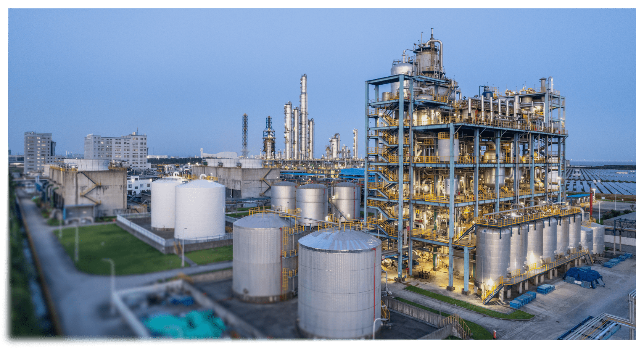
Wheelies enables monitoring of long-distance pipelines and oil and gas facilities with minimal risk to personnel.
Applications:
- Autonomous inspection of pipelines and storage facilities
- Detection of leaks and temperature anomalies
- Environmental monitoring
- Operations in remote or hazardous areas
Case example:
Companies use drones for daily pipeline monitoring. The system quickly transmits coordinates of potential leaks and anomalies, reducing inspection costs and ensuring personnel safety.
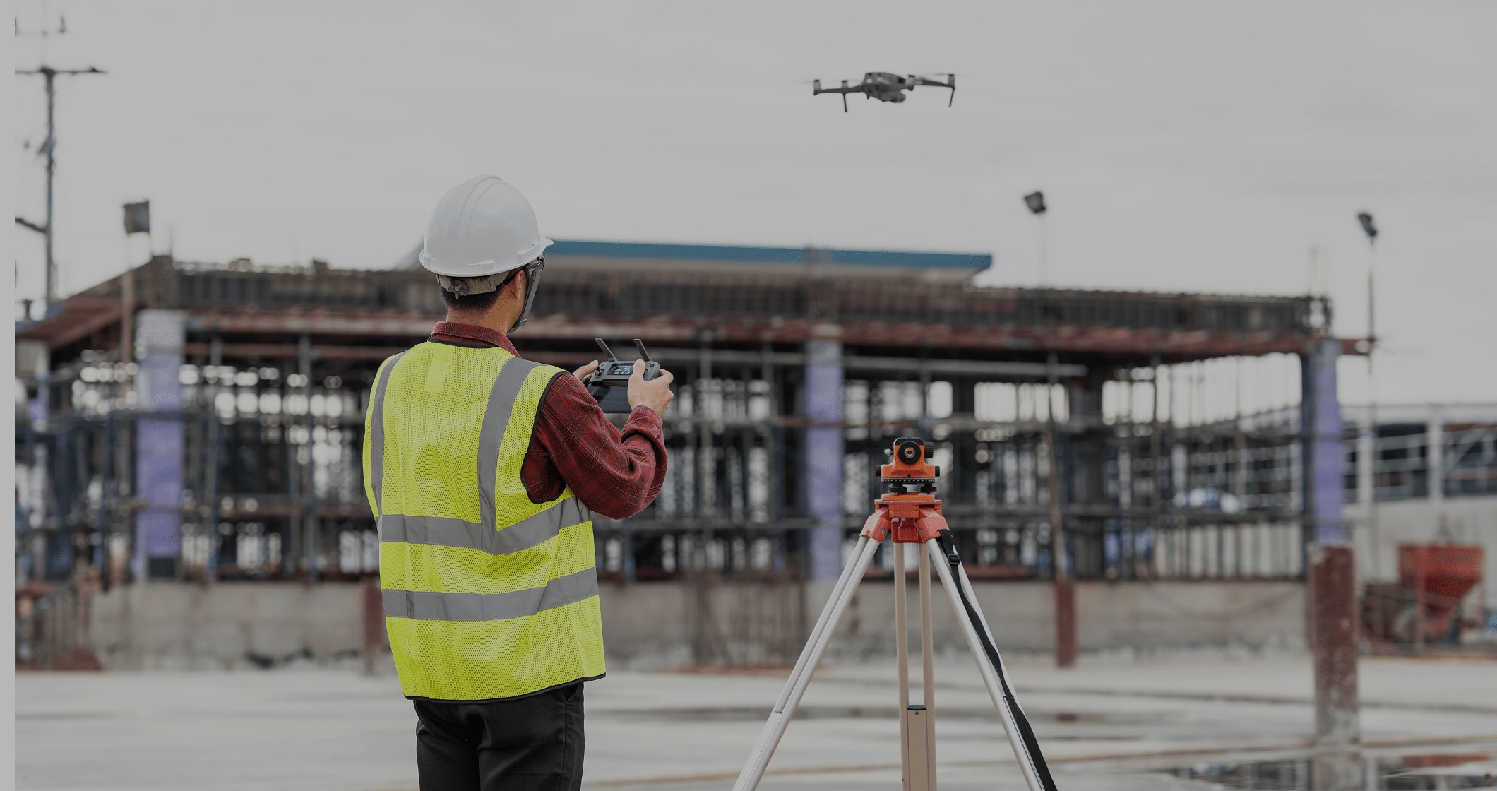
Wheelies helps monitor construction progress and compliance with safety standards through continuous site surveillance.
Applications:
- Construction progress monitoring
- 3D modeling of facilities
- Detection of deviations from schedules and standards
- Workforce activity monitoring
Case example:
Construction companies use drones to compare actual progress with approved project documentation. This enables timely detection of errors and deviations, reducing downtime and rework. Implementing this technology helps shorten construction timelines and reduce the number of mistakes.
Autonomous drones powered by Wheelies accelerate accurate data collection and mapping processes for project planning.
Applications:
- Topographic surveying and 3D terrain modeling
- Creation of detailed territorial maps
- Integration of data with GIS systems
- Mineral exploration and mine planning map development
Case example:
Geodesy companies use UAVs to survey areas and create high-precision 3D maps, reducing field operation costs and accelerating data analysis.
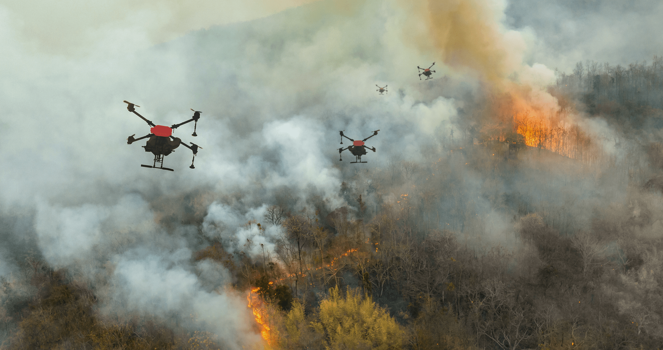
Wheelies enables real-time monitoring of forests, water bodies, and protected areas, with rapid response capabilities in case of emergencies.
Applications:
- Early detection of wildfires and floods
- Continuous ecosystem monitoring
- Detection of illegal activities
- Tracking animal behavior and migration
Case example:
Organizations use drones for regular aerial inspections to detect anomalies. The system automatically identifies critical signals, reducing ecological damage and optimizing emergency response resources.
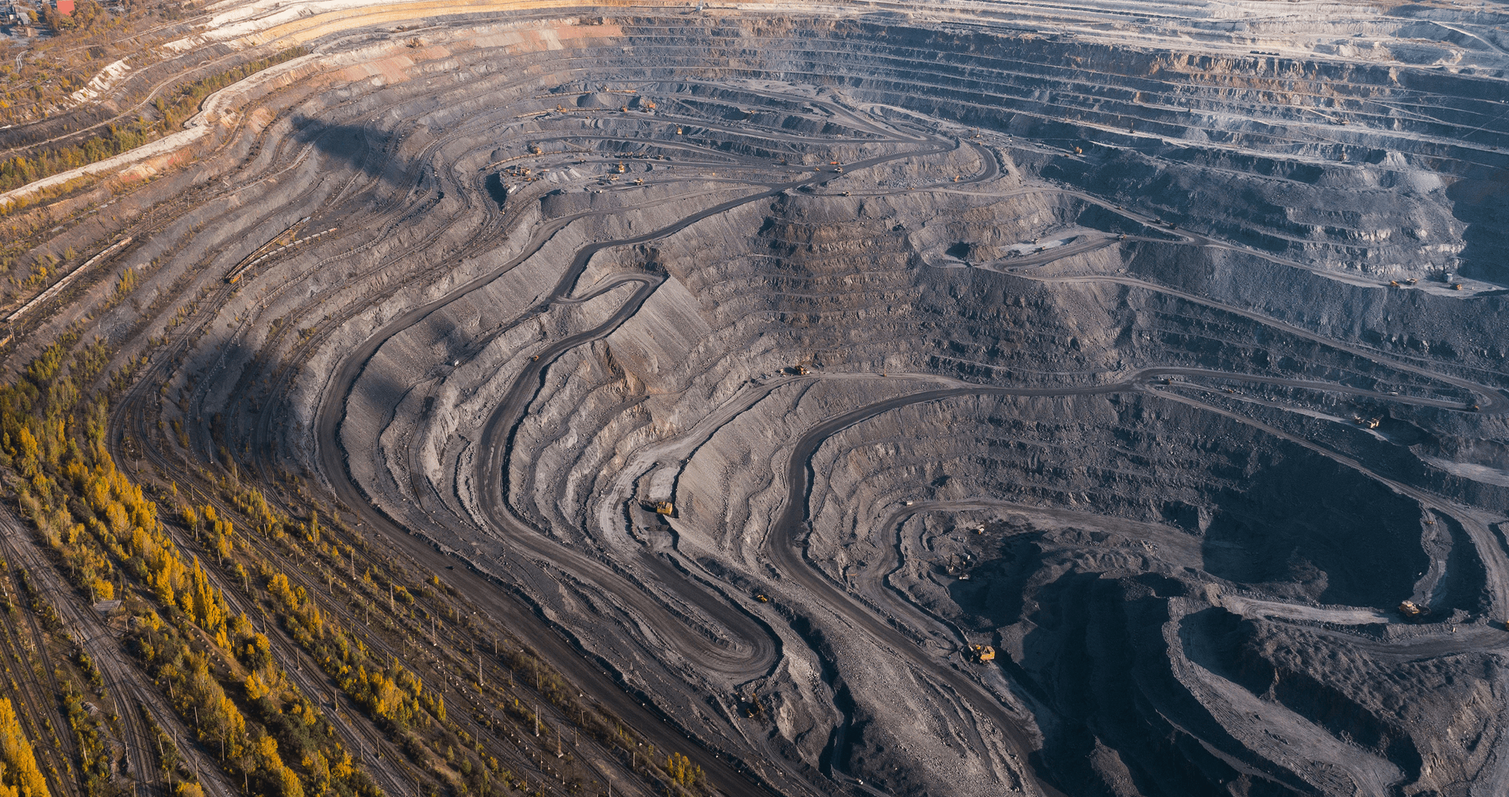
Wheelies simplifies operations in hard-to-reach and hazardous regions, accelerating subsurface studies, evaluation, exploration, and discovery of mineral deposits for future industrial development.
Applications:
- Surveying remote territories
- Collecting sensor data and video streams
- Terrain mapping and mineral deposit identification
- Monitoring erosion processes
Case example:
Companies conduct exploration missions using drones to create 3D maps and identify geological features. This reduces expedition costs and accelerates mining planning.
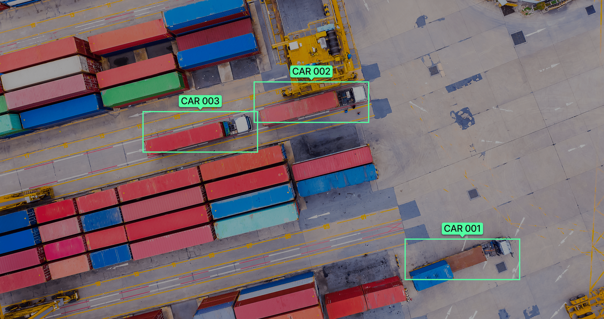
Wheelies enables monitoring of roads, bridges, and transport infrastructure, quickly detecting damage and defects. In parallel, devices track traffic flow conditions and monitor emergency situations.
Applications:
- Traffic flow monitoring
- Accident detection
- Road surface inspection
- Traffic regulation compliance monitoring
Case example:
Companies use drones powered by Wheelies to inspect highways. Drones detect road surface damage and traffic incidents, accelerating repair planning and improving road safety.
Wheelies enables autonomous cargo delivery to remote and hazardous areas, independently planning optimal routes. This allows fast and safe transportation without increasing workforce size.
Applications:
- Delivery of goods to remote and high-risk zones
- Route and cargo condition tracking
- Scaling logistics operations without expanding personnel
- Rapid delivery of medicines and emergency supplies
Case example:
The platform enables delivery of cargo and medical supplies to complex environments and supports rapid response in emergency situations. Delivery data is transmitted to the management system, improving speed, safety, and operational transparency.
Wheelies provides monitoring of power lines, substations, and distributed energy infrastructure, helping to detect damage, overloads, and potential failures in a timely manner.
Applications:
- Power transmission line (PTL) condition monitoring
- Detection of equipment damage and operational anomalies
- Substation and critical asset inspection
- Monitoring of protection zones and external impacts
Case example:
Energy companies use drones powered by Wheelies to inspect grid infrastructure. The system detects damage and equipment anomalies, accelerating maintenance processes and reducing the risk of outages.
Advantages
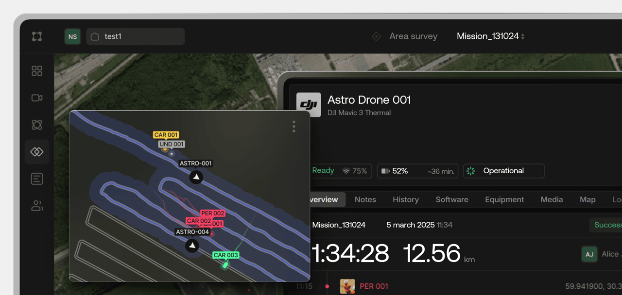
Unified Control and Monitoring System
Autonomous Mission Execution
Multi-Device Management
Data Storage and Performance Analytics
Operation in GPS- and Connectivity-Restricted Environments
Data Analytics and Processing
Integration with Enterprise Systems
Intelligent Task Distribution
Scalability and Resilience
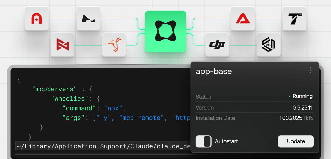
Core Components of the Wheelies Platform
AI Captain
Functionality
Command Center